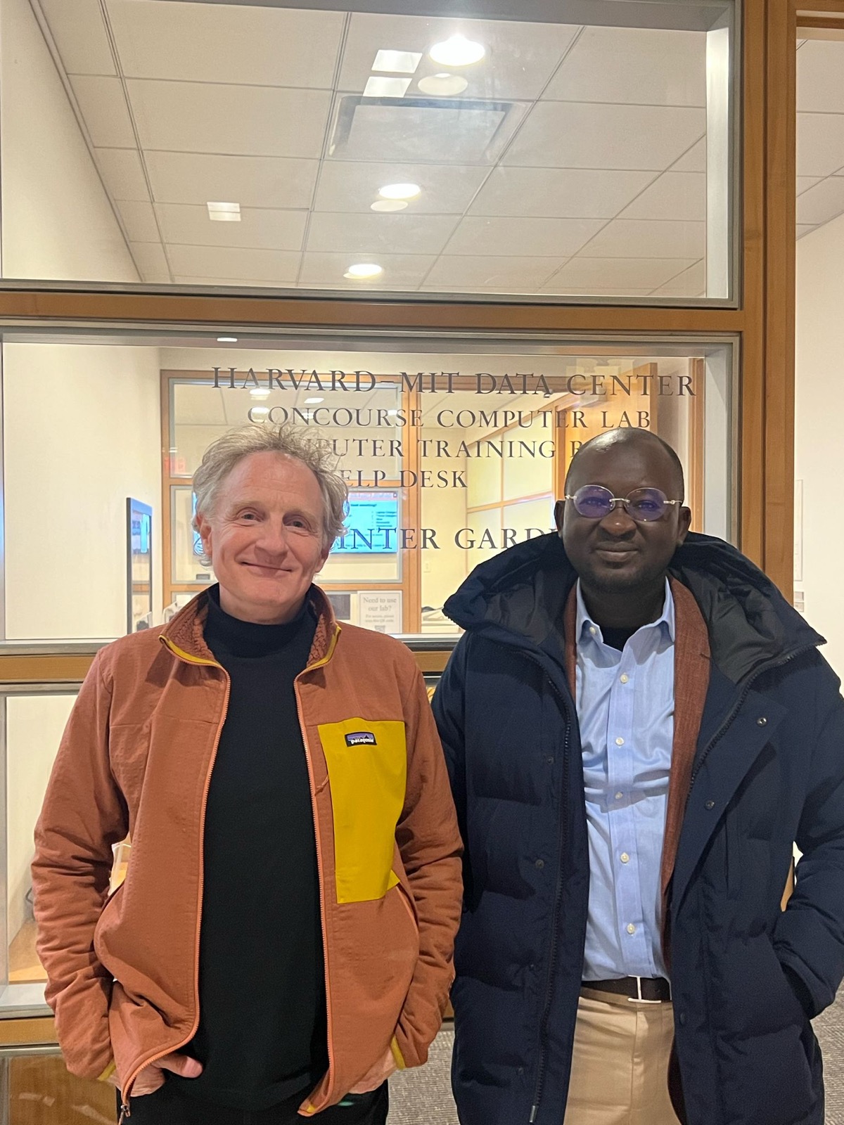
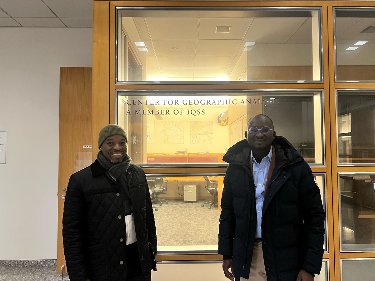
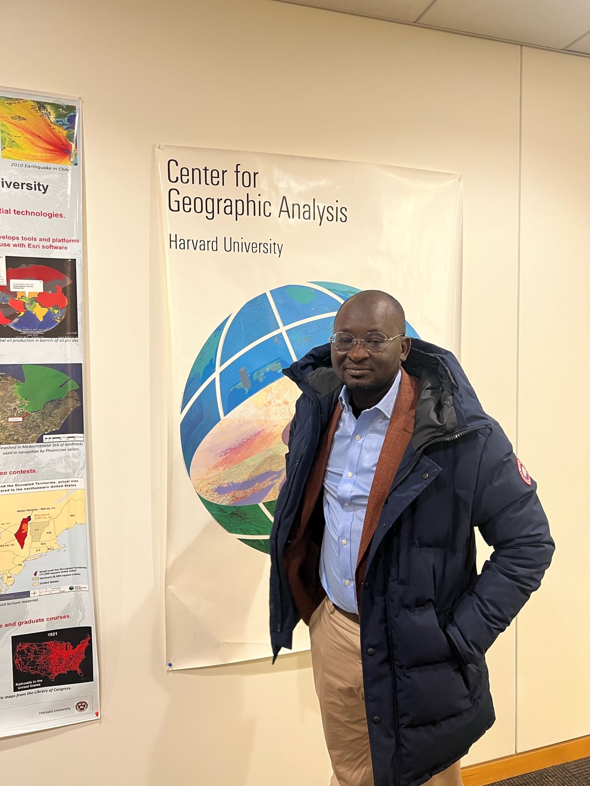
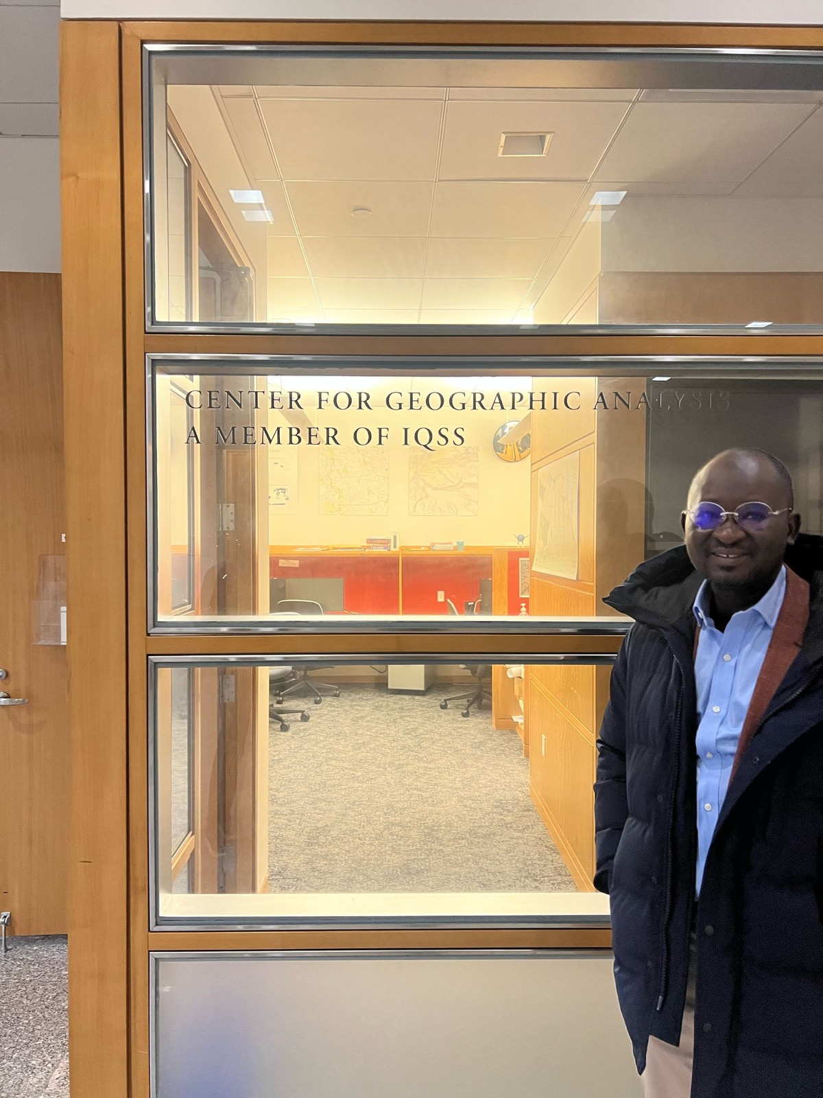
Cybastion recently welcomed Sekou Diallo, CEO of Cabinet de Géomètre Expert Diallo Sékou (CGEDS), a leading company in surveyor technology and geographic management in Ivory Coast.
The company specializes in surveying, cadastre, topographical and geospatial activities, using drones, scanners, satellite and advanced mapping technologies to improve land administration.
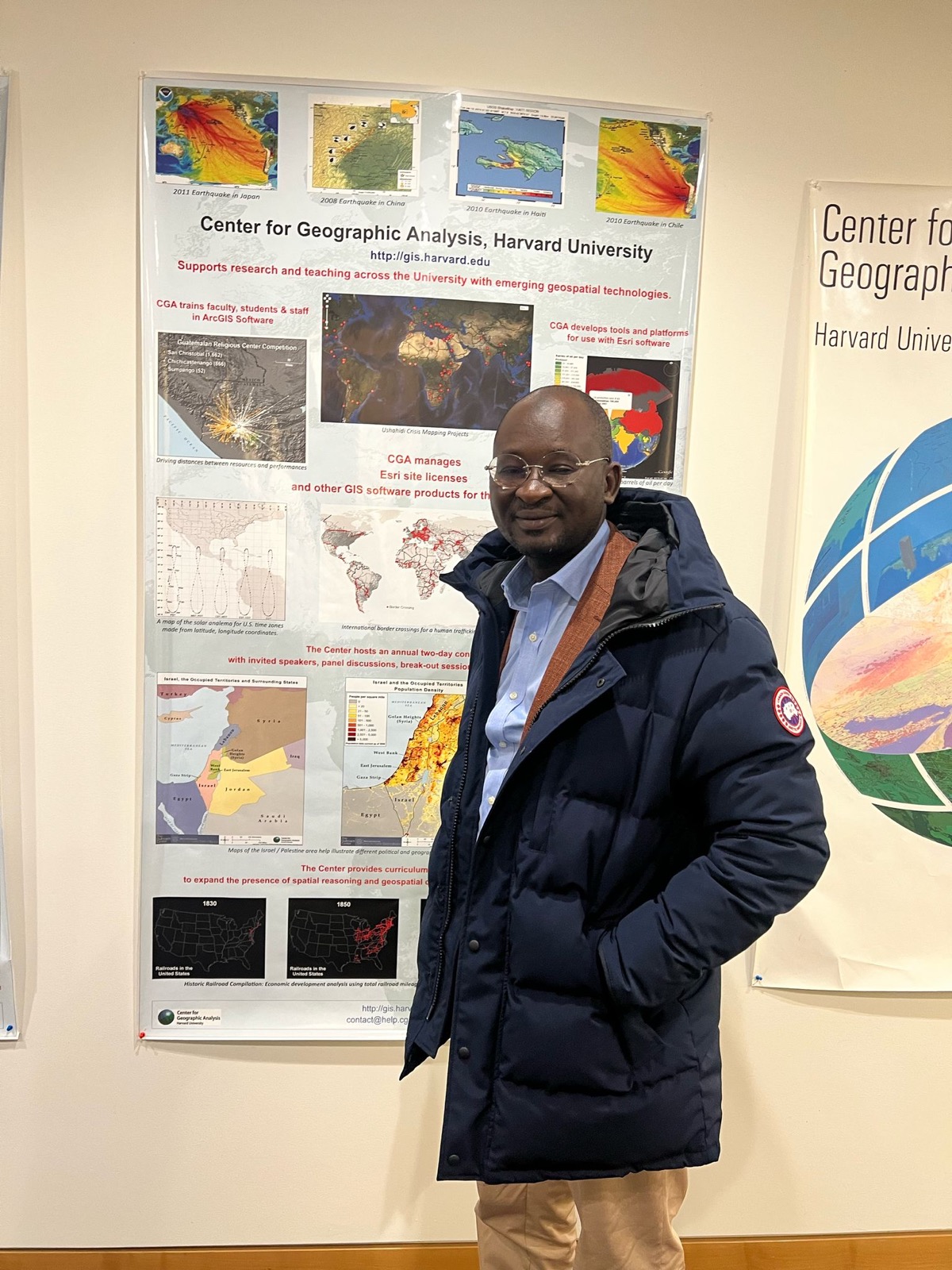
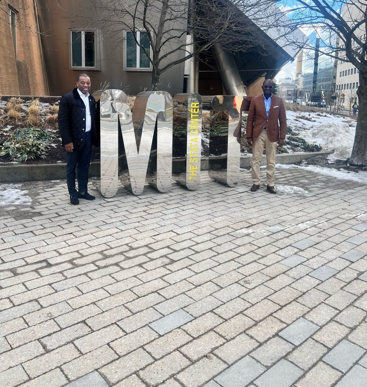
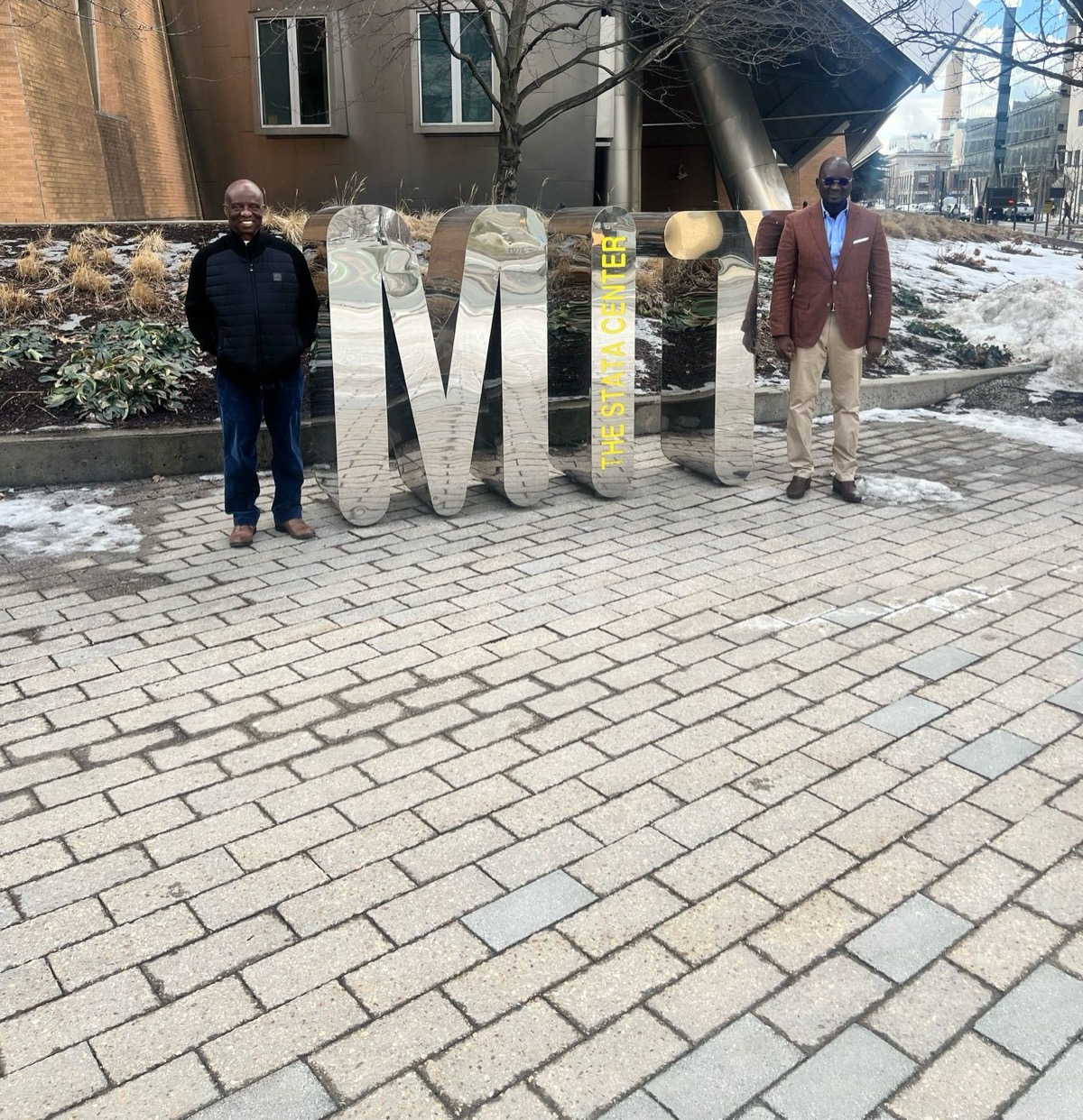
The Cybastion team facilitated partnership opportunities for CGEDS with the Center for Geographic Analysis at Harvard University and the Massachusetts Institute of Technology (MIT) to support efforts to digitize land surveying, improve tax collection, and advance urban planning in Ivory Coast.
CGEDS, which was commissioned by the Government of Ivory Coast, following the successful completion of the World Bank-sponsored proof of concept, to expand its digital surveying capabilities nationally.
CEGDS is now expanding the capabilities of its Geographic Information System (GIS) to streamline GPS-based land registration, tax collection and land administration for all local and national governments and agencies. The data collected will help support infrastructure planning, including school construction, road development and economic growth analysis.
CGEDS establishes a partnership with Cybastion to develop new tools and platforms. The partnership will also train the expected 100,000 workforce who will benefit from the new capabilities and personnel generated by this opportunity. This notably involves equipping surveyors with digital tablets to conduct land surveys more efficiently and provide new services to administrations and other stakeholders.
By leveraging cutting-edge technology and strategic partnerships, Cybastion supports Ivory Coast's digital transformation in geospatial technology, which will strengthen the country's capacity to modernize land administration and infrastructure development.